


The following day saw us heading north to Sandy Cape, up past Indian Head, Waddy Point, through the cute settlement of Orchid Beach, before heading up the beach again. With the tide being quite high on the way up we had to briefly leave the beach at Ngkala Rocks taking a bypass track that squeezed us through the rocks. We spotted two more dingos on this trip and at Sandy Cape the road to the lighthouse was impassable due to the tide, so we took to foot to walk over the dunes to the Carree campsite. The tall sand dunes plummet to the seashore and the kids ran up and down in the hot sunshine whilst we watched. The lighthouse poked out from the trees several kilometers to the west of us but too far to walk in the heat.


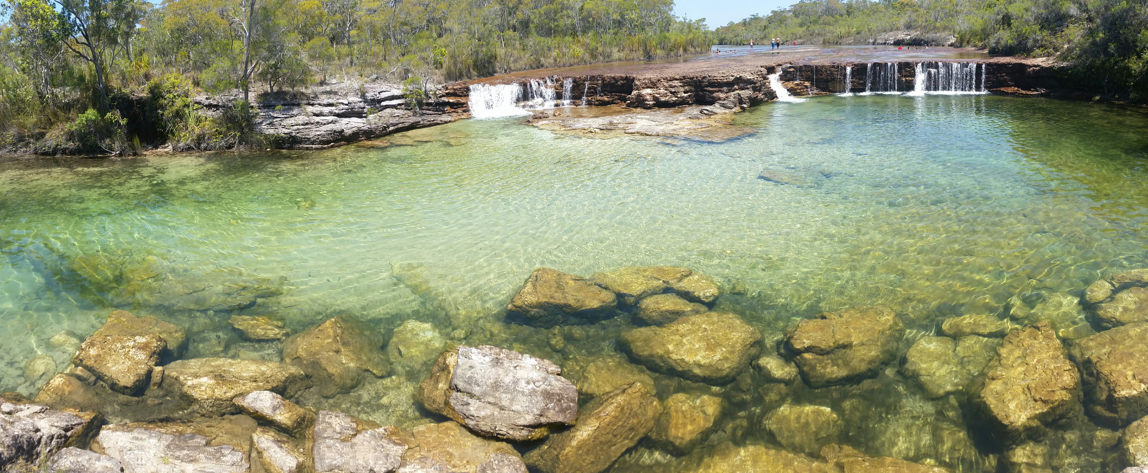
On the return trip we visited the Champagne Pools, somewhat disappointing due to the fact that each pool had fifty backpackers wallowing in it, some of them stripping off and crushing snails to feed the fish, despite the “no collecting” signs.
When challenged one said he was with an Aboriginal who said it was ok to do so. Whilst indigenous people do have privileges to collect within National Parks, tourists don’t and when others started copying the marine life will soon be stripped and spoilt for the future. I found it surprising that the indigenous guide had allowed this, as most aboriginal people we have met consider themselves to be guardians of the land they occupy. In this case perhaps the lure of the dollar was more important than preservation of the environment.


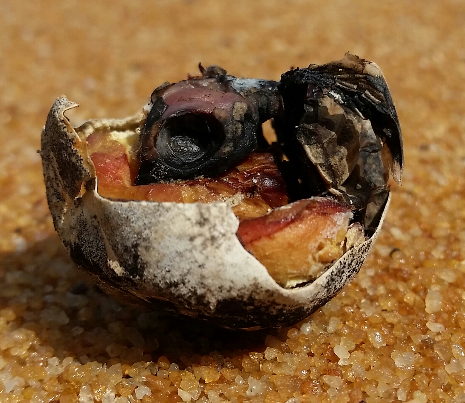
We walked to the tips of Waddy Point and Indian head to look for sharks, turtles and more but returned disappointed.


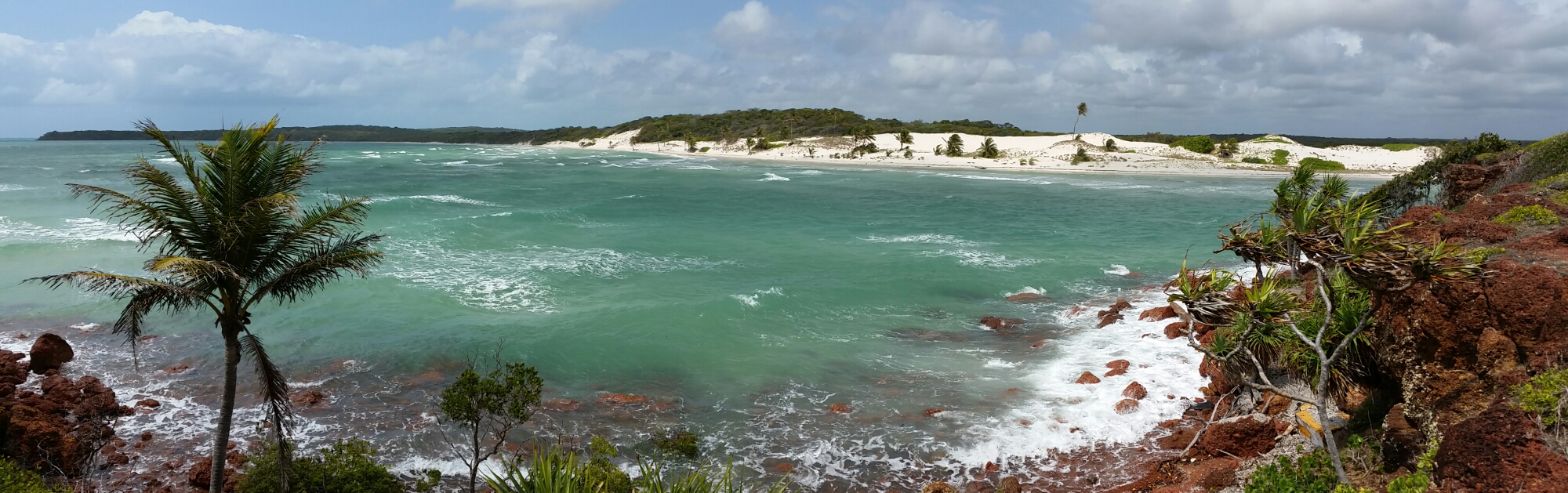
On the return trip we headed east at Orchid Beach to visit Wathumba, a large estuarine area, with a wooded coastline and mangroves growing in the sand. This beautiful spot is notorious for sandflies but we didn’t witness many at all.
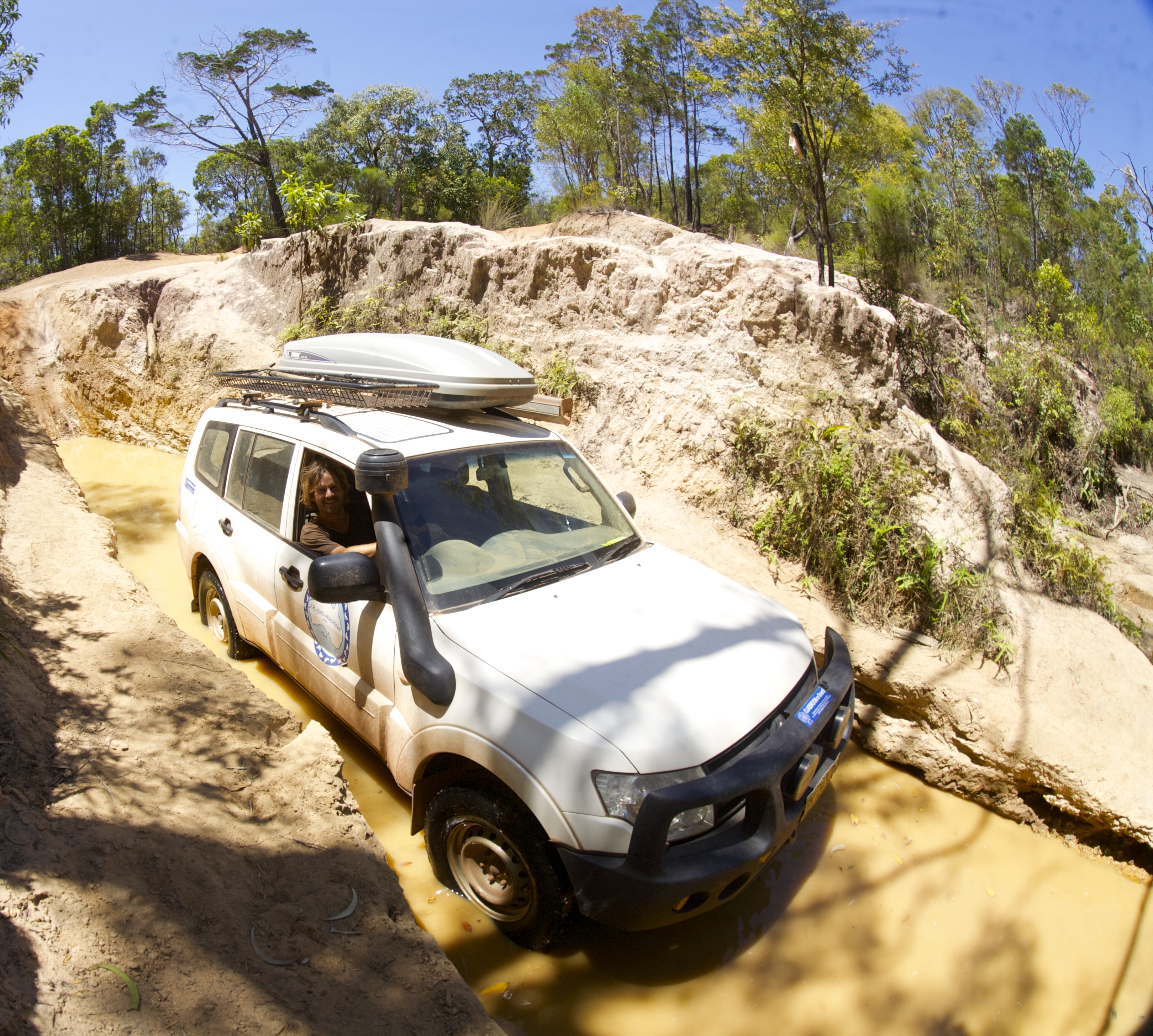
Another day, another excursion and we headed south to take in the Central Lakes drive. Out timing of the tide wasn’t good and when we arrived at Eli creek some thirty cars on both sides of the creek were awaiting the tide to abate. Some of the Tag-Along tours had fixed itineraries though and were not prepared to wait. The 4WD vehicles driven primarily by inexperienced backpackers nervously entered the water, sometimes to their leaders horror even taking a precarious passage over rocks. Whilst the water wasn’t too deep I was prepared to wait a bit longer rather than taking a brine rinse under the bonnet.


One vehicle stalled on the exit and couldn’t be restarted by the driver. Without a snorkel it looked like this could be the end of their day but the leader emerged from the back of his vehicle with a can of CYC spray and with a prolonged spray under the bonnet life was restored in the engine and off they drove.
As we crossed shortly after four guys were digging sand out from the wheels of a very bogged car near the front of the queue.


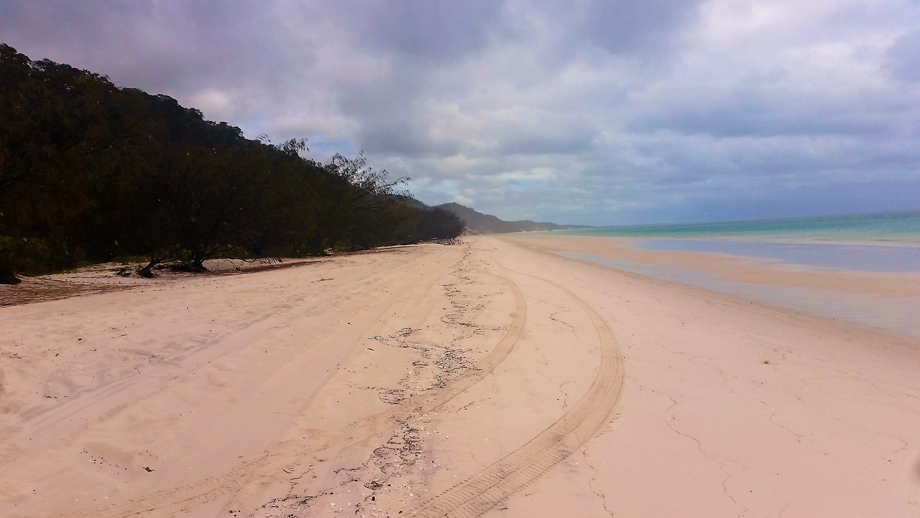
Once across the creek and past Yidney and Poyungan rocks along the beach the track heads inland and a short drive through the forest brings you to the Lake Wabby Lookout. The lake is easily accessible from here and despite the threats of a dark storm approaching we couldn’t resist. The water was surprising warm for the deepest lake on the island and with steep dunes plunging into the deep water it was a favourite with the kids.
Beyond that is another major attraction, Lake Mackenzie, whose brilliant white sandy shores and pale blue acidic water grace all the tourist brochures. To avoid crowds, a short walk along the beach, and over a few steps, brings you to a second beach. Still no sun but plenty of crystal clear warm water to swim in – irresistible. The drive continued past Lakes Birrabeen, Benaroon and Boomanjin, all picturesque and much less frequented by the crowds of tourists but time was flying and we had to drive back up the beach.
As the rusting wreckage of the Maheno emerged from the sea spray in the distance we knew were almost back at camp again where the kids needed to be woken up, having fallen asleep in the car, after another exhausting day on Fraser Island
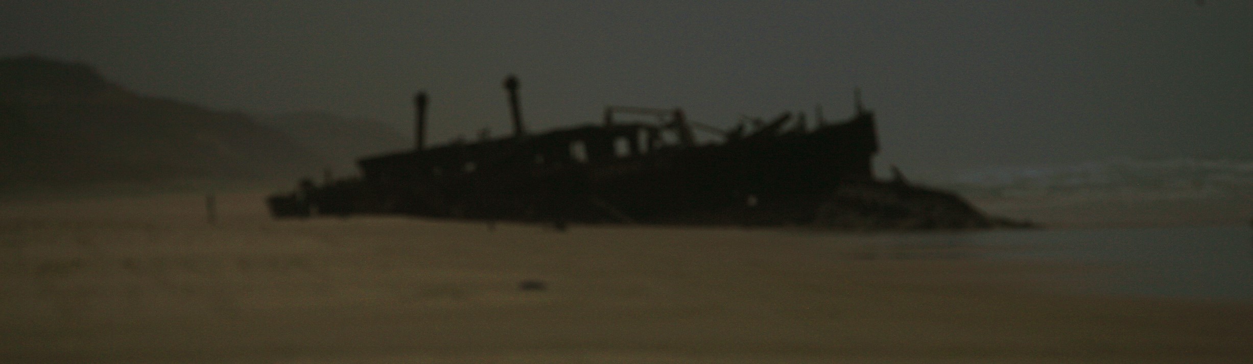
Rusting hulk of the Maheno


Recent Comments