With the Tip thoroughly explored we decided to take a 50+km track with Simon, Hilary and the girls to Usher Point. The road condition and distance is sufficient to deter all but the hardened traveller, and from the Hema guide the track was going to be tough. We had heard reports of 5-6 hours travelling time required with bush tracks so tight you would be relieved of paintwork along the way. Parks and wildlife don’t encourage trailers either but we were up for a challenge, the first, and by far the hardest, booking one of the four campsites. Once again we wrestled with a ridiculous booking system, being told only one site was available by a second operator.
The drive out was actually nothing like what we expected. It took two hours and the road must have been cleared in recent years judging by the size of the track and regrowth rates. No paint scratching on this track and very few challenges other than a couple of sections of soft sand. The Camprite trailer cruised through as it has done for the last 11 months without a hiccup.
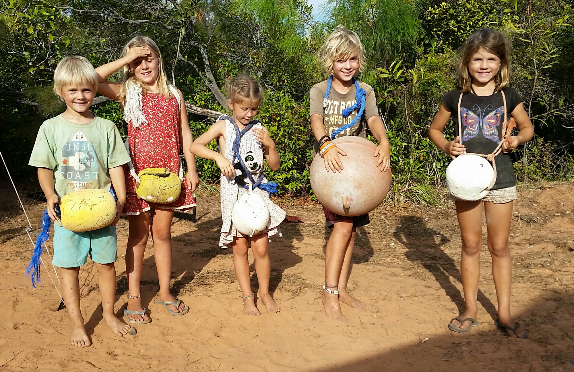
Camp fun with beach flotsam
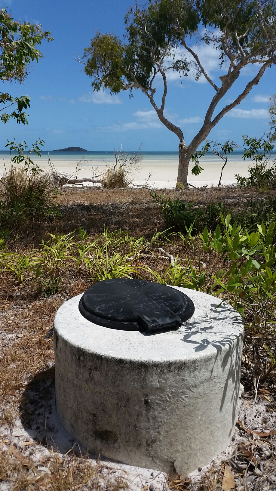
Our campground greeted us piled with flotsam and jetsam salvaged from the beach, a blessing in disguise as whilst unsightly it did provide hours of entertainment for the kids. The coastline was rugged and exposed to the strong onshore winds. The four campsites are spaced across 2+km of track, one in the rainforest, one in deep soft sand behind the beach, another perched precipitously on a totally unsheltered overhung cliff (not good for sleepwalkers), and ours, nestled in low-lying bush, very slightly sheltered.


A lot of beach combing yielded more chambered nautilus shells, and a surprising source of multi-coloured clay that the kids insisted on bringing back to camp to play with. Much of the cliff was clay, however large islands protruded from the sand in places, with thin layers of many colours.

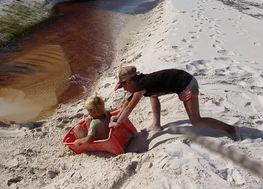
Go-karts made from beach rubbish
Gunshot Creek re-enactment
The kids used their imagination with items of rubbish found on the beach and from home-made go-karts made from fishing floats, raced down the track, to re-enactments of the Gunshot Creek crossing on the Old Telegraph Track, a lot of fun was had by all.
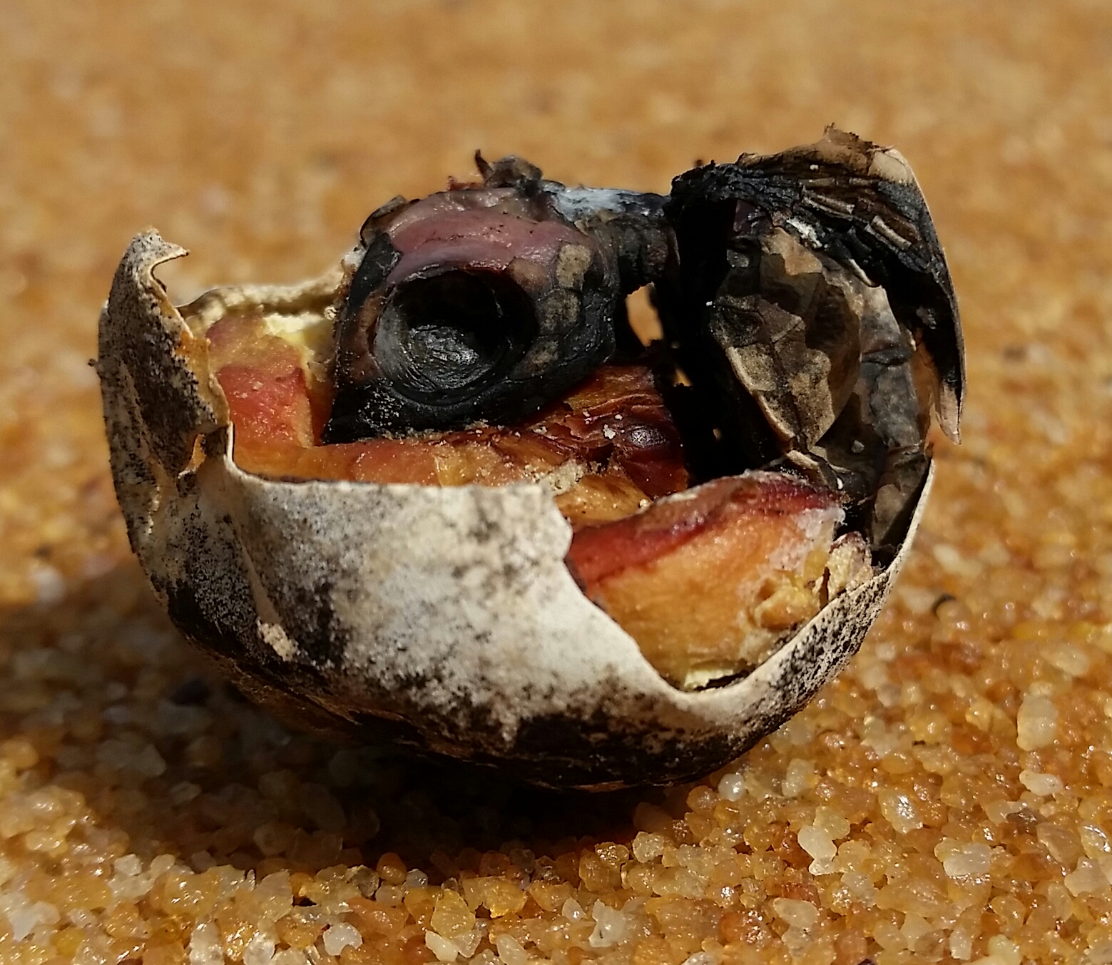
Turtle embryo in shell
A broken turtle shell washed up one day with a dead embryo with features fully formed and clearly visible, including yolk.
The drive from the camp to the beach was the biggest challenge requiring lowering tyre pressures to handle the soft sand track and campsite. This sandy camp was separated by a murky but shallow creek, but fresh tracks indicated that it was inhabited by a small crocodile.
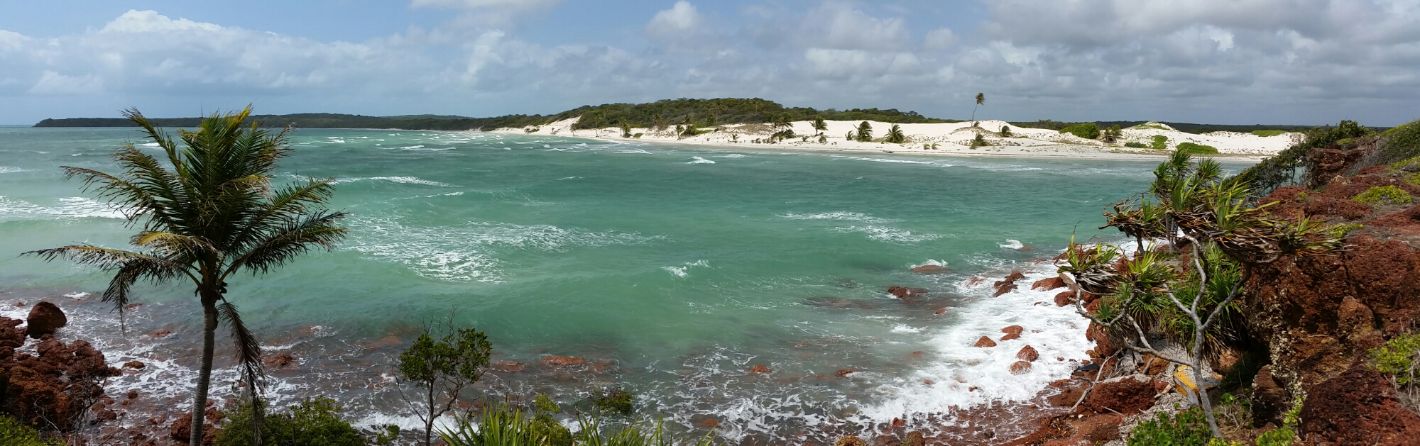
Sadd Point panorama
We stayed for three days, exploring the beaches, driving to Sadd Point nearby, and pushing an extremely scratchy track towards Escape Creek, where at times we were pushing over saplings higher than the car that were growing in there middle of the track.

The road to Sadd Point
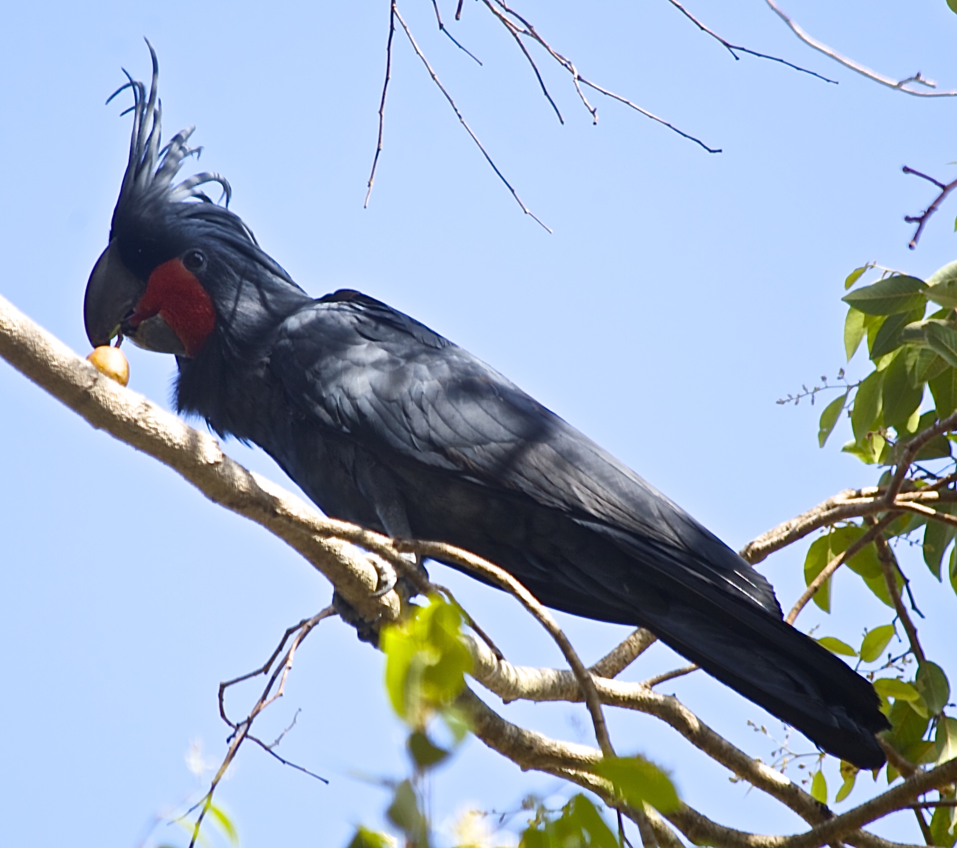
I found a new favourite bird, the aptly named Magnificent Riflebird. Having heard its call I managed to coax one in close to see its beautiful metallic green collar, and hear its rustling feathers as it chased a female through the treetops. It eluded my attempts to photograph though.
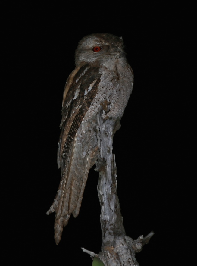
Around the campfire on the first night we were interrupted by the erratic flight of a nightjar fluttering past several times. Following the frog-like sounds I found two sitting on the track every night. A Woompoo fruit dove allowed a close photo too one evening and once Simon’s very successful coconut lemon cake, cooked in the camp oven, wafted into the air we got regular visits from the local bandicoot.
Despite insistences from the booking consultant that campsites were full we saw no-one for three days at Usher Point. As we drove out a fallen tree across the road might have explained why, but four adults could move it aside quite easily, before we needed to reach for winches or saws.


Recent Comments